New Met Eireann high resolution reanalysis dataset
Met Eireann recently announced that it plans to make a high-resolution reanalysis dataset available online. The MERA dataset is based on high-resolution (2.5 km horizontal) runs of the HIRLAM numerical weather prediction model.
It covers the time period 1981-2015. The area covered includes Ireland, the United Kingdom, and some of Northern France. The coverage unfortunately seems to stop short of Rennes by a few kilometers!
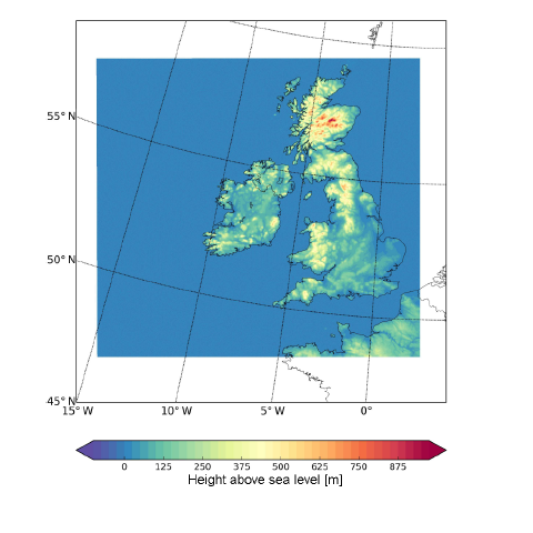
MERA dataset spatial coverage, image from Gleeson, E.; Whelan, E. & Hanley, J. Met Éireann high resolution reanalysis for Ireland. Advances in Science & Research Open Access Proceedings, 2017, 14, 49-61
This looks like it will be very useful for wind resource studies, and possibly for wind forecasting studies too, as the dataset is based on 3h forecasts from HIRLAM, with a 33h forecast produced once per day at 00:00Z. Met Eireann has provided some samples of the data online. The MERA project is described in greater detail by Gleeson et al. in their European Meteorological Society open access paper.
A subsequent post here will deal with how to read the MERA output variables from Met Eireann's GRIB files.
Electricity and Environment Laboratory
Renewable energy and land-atmosphere interactions research
Contact us