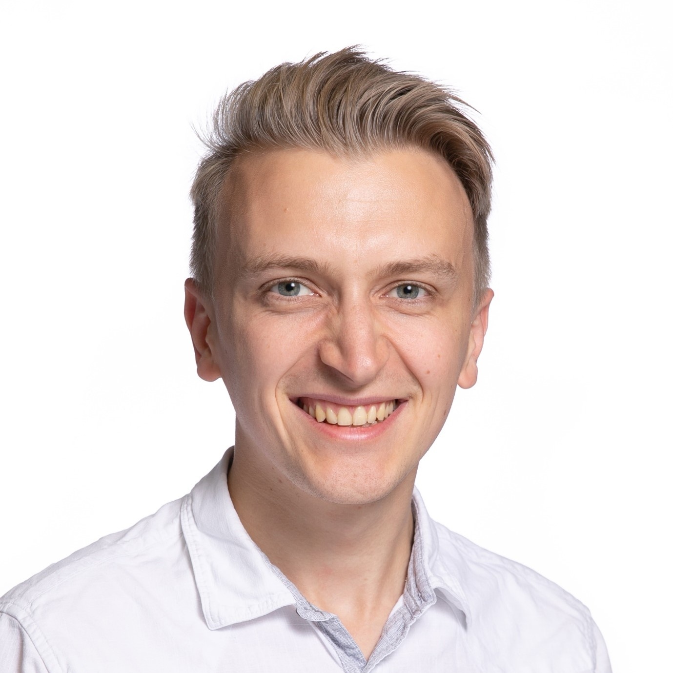
Dr Ger Summers
Name: Dr. Gerard Summers
Position: Post-doctoral researcher
Office: Research Office, Top Floor, Department of Geography
Email Address: gerard.summers@ucc.ie
Biography
Dr Gerard Summers graduated with a BSc in Geology from University College Cork in 2015. Gerad has since completed an MSc in Applied Coastal and Marine Management from UCC in 2017. Thereafter, he completed a PhD in Seabed Habitat Mapping in UCC in 2023.
A common theme throughout Gerard’s academic career is the use of GIS technology to determine the ecosystem drivers that sculpt ecologically important environments. During his PhD, he uncovered the capacity of object-based image analysis to create scale resilient seabed habitat maps and exploit the information within these maps to provide estimations of near seabed current velocities.
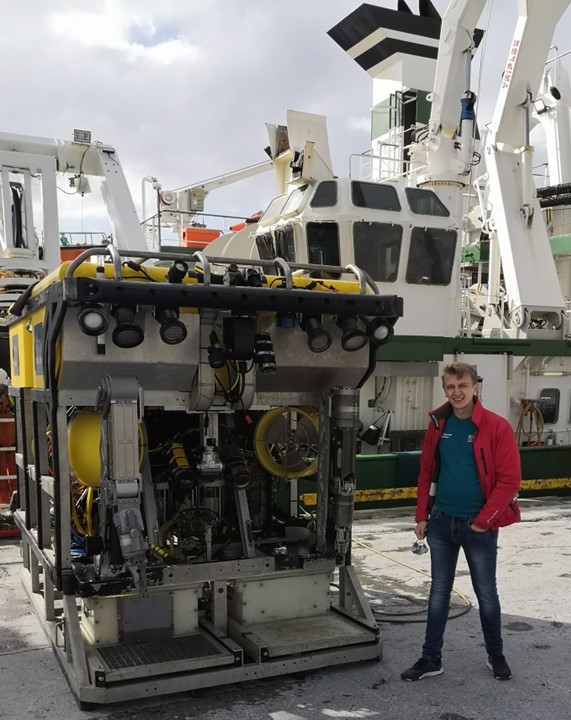
Since 2021, Gerard has published 4 peer reviewed articles in academic journals such as MDPI’s journal Remote Sensing, receiving the Ron McDowell Student award from the GeoHab community and the Irish Earth Observation Award for best presentation in 2022. Furthermore, Gerard has participated in 10 research cruises conducted in the Celtic Sea, North Atlantic, and the Irish Sea and has worked within international research consortiums and Ireland’s own INFOMAR as senior marine surveyor and hydrographer. To date, Gerard has been received >€84,000 in research grants and awards.
Active Research Projects
- Seagrass mapping to assess natural stocks of blue carbon: post-Doctoral Research Fellow.
- An Enhanced Angular Range Analysis workflow with backscatter and magnetometry for wider industrial impact and uptake of INFOMAR data (Masters by Research Project by Cara Brennan): Co-supervisor.
- Evaluating Consequences of Seaweed Farming on Seagrass Ecosystems at the Turneffe Atoll Marine Reserve (Masters by Research Project): Principal Investigator.
Publications
McGeady, R., Runya, R.M., Dooley, J.S.G., Howe, J.A., Fox, C.J., Wheeler, A.J., Summers, G., Callaway, A., Beck, S., Brown, L.S., Dooly, G., McGonigle, C., 2023. A review of new and existing non-extractive techniques for monitoring marine protected areas. Frontiers in Marine Science 10.
Summers, G., 2023. The Application of Object-Based Image Analysis to Geomorphological Seabed Mapping. University College Cork. https://doi.org/10.13140/RG.2.2.18470.70720
Summers, G., Lim, A., Wheeler, A.J., 2023. Multi resolution appraisal of Cork Harbour estuary: An object based image analysis approach. Geomorphology 439, 108851. https://doi.org/10.1016/j.geomorph.2023.108851
Summers, G., Lim, A., Wheeler, A.J., 2022. A Characterisation of Benthic Currents from Seabed Bathymetry: An Object-Based Image Analysis of Cold-Water Coral Mounds. Remote Sensing 14, 4731. https://doi.org/10.3390/rs14194731
Summers, G., Lim, A., Wheeler, A.J., 2021. A Scalable, Supervised Classification of Seabed Sediment Waves Using an Object-Based Image Analysis Approach. Remote Sensing 13. https://doi.org/10.3390/rs13122317
Awards and Grants
- Our Shared Ocean Master’s Scholarship Grant: €84,000 (Principal Investigator).
- Irish Earth Observation Symposium (IEOS) 2022 Best Presentation: €200.
- GeoHab 2022 Ron McDowell Student Award: €860.
- Marine Institute 2022 Travel Grant: €750.
- IGRM 2020 Poster Presentation (Honourable Mention).
Research Cruise Experience
- CE22013 — SPeeD (Geophysicist).
- CE21011 — SyMonS_MoM II (Day Shift Leader).
- CE20011 — SyMonS_MoM I (Day Shift Leader).
- CE20001 — INFOMAR hydrographic survey (Night Shift Leader).
- CV19023 — DOWindy I (Night Shift Leader).
- CE19014 — MoChaSCan II (Night shift leader).
- CE19008 — MoChaSCan I (Day shift leader).
- CE18011 — CoCoHaCa II (Geophysicist).
- RH17002 — CoCoHaCa I (Scientist).