
About
Jump to
Earth and Ocean Lab
The Earth and Ocean Lab is a research group based in the Department of Geography and Environmental Research Institute, UCC, interested in mapping and monitoring a range of coastal and marine settings to understand habitat development, seabed sedimentary processes and geo-environmental change. With a heavy focus on method development, we aim to innovate offshore survey and data capture in terms of efficiency, sustainability and environmental consideration. We have particular expertise in offshore survey for offshore renewable energy projects, cold water coral habitats and 3D photogrammetry. On our website, you will learn about us, our projects, our team members and collaborators and research outputs. If you're interested in collaboration, post-doctoral or postgraduate research, please don’t hesitate to get in touch.
Our key principals:
- Excellence in research
- Well-being and inclusion
- Career development for early career scientists
To see our active research projects, please visit our Projects page.
To see our team, please visit out Team page.
The Earth and Ocean Lab and Department of Geography have an extensive range of tools, equipment and software including:
Field Equipment
Field Equipment
- 3 x Seaber Marvel Autonomous Underwater Vehicles (AUVs) - multibeam, side scan sonar, magnetometer and image data
- 3 x Multispectral UAV ('drone') - Mavic 3 Enterpirse (Multispectral)
- 990 kHz Side Scan Sonar - Blue Print SubSea StarFish
- Tide Gauges
- 4 x Anemometers
- 2 x ADCP landers
- Yamaha Inflatable Rubber Tender
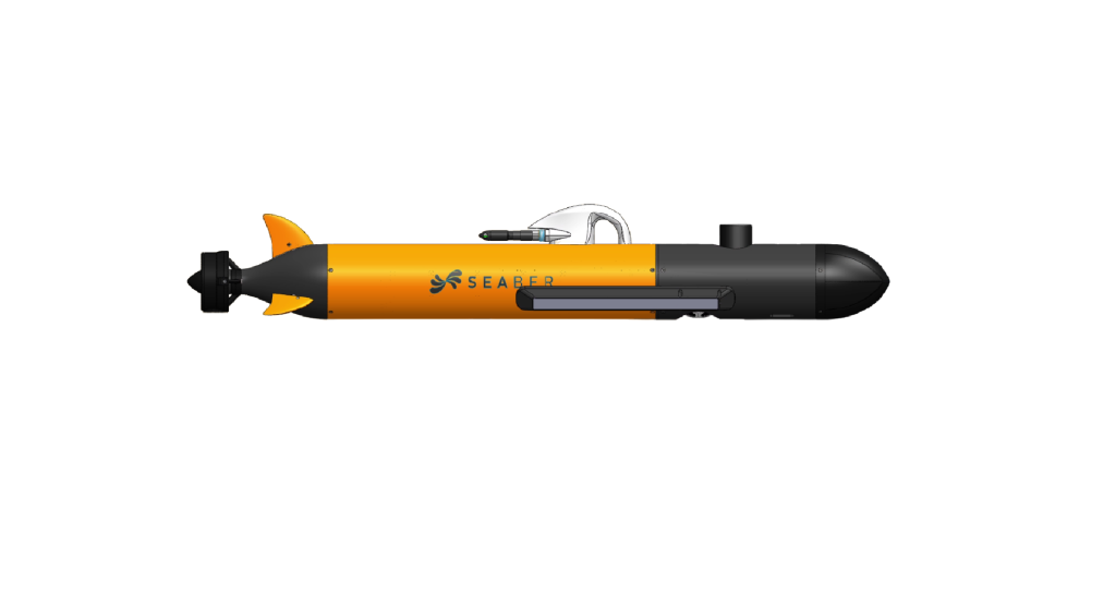
Seaber Marvel AUV
990 kHz Side Scan Sonar
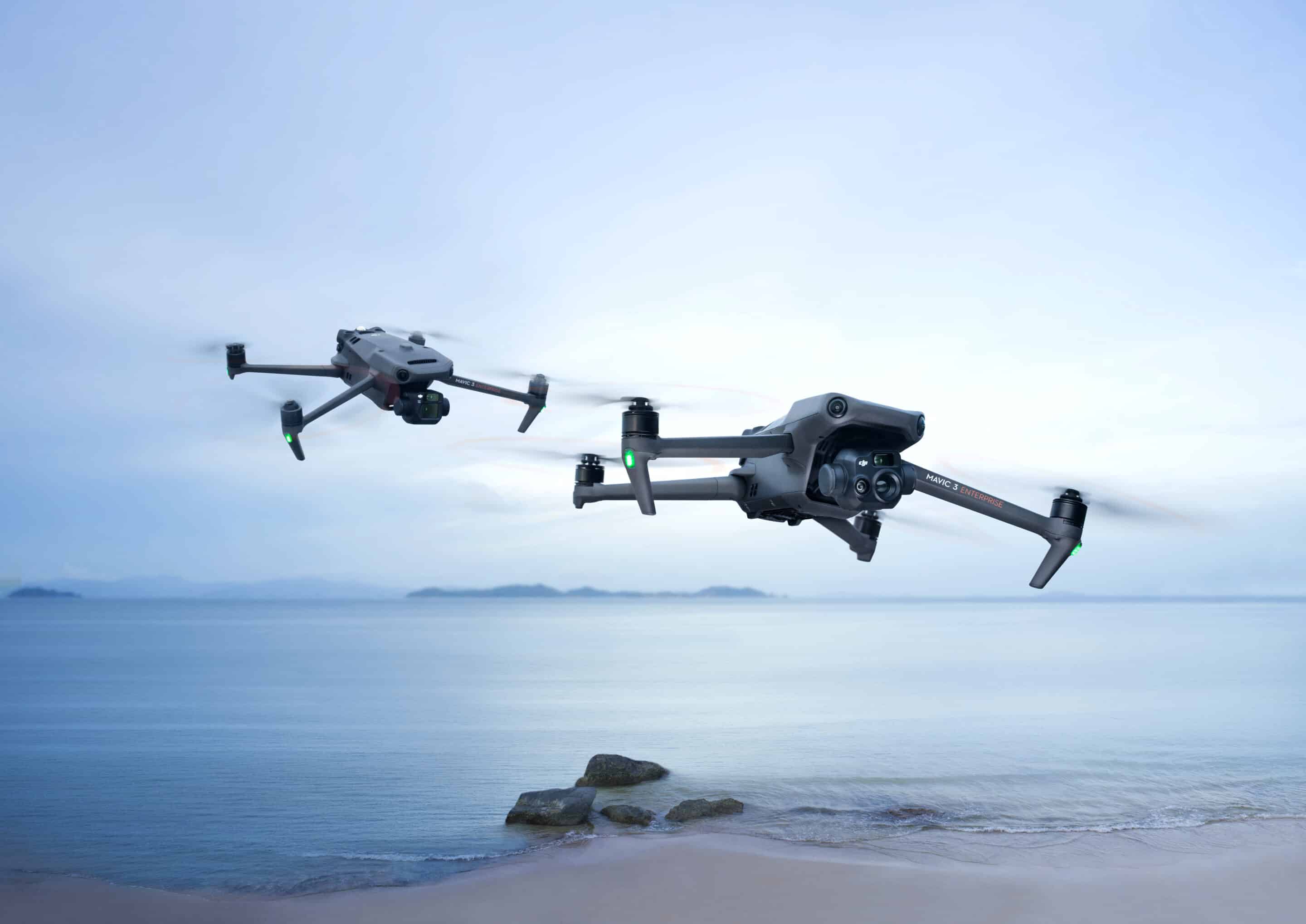
Mavic 3 Enterpirse (Multispectral)
Specialised Software
- SonarWiz Processing Suite (CTI) - Side Scan Sonar, Mulitbeam Bathymetry, Mulitbeam Backscatter, Magnetometry, Sub-bottom Profiler and Navigation)
- QINSy (QPS) - Survey Planning, Operations, Calibration and Online Survey
- Qimera (QPS) - Multibeam Sonar Processing
- FMGT (QPS) - Mulitbeam Backscatter Processing
- Fledermaus (QPS) - Marine data visulaistaion
- FMMidwater (QPS) - Watercolumn processing
- Agisoft Metashape - SfM Photogrammetry
- Matisse (IFREMER/OpenSource) - SfM Marine Photogrammetry
- ArcGIS (ESRI) - Geographic Information System
- DJI Terra - DJI UAV-specific data processing
![]()


Lab Facilities
- Re-fridegerated core store
- Malvern Mastersizer - Grain Size Analysis
- Malvern XFR
- Fume Hood
- Sediment and Environmental Laboratories
